
Source: CCTV.com
10-02-2006 15:10
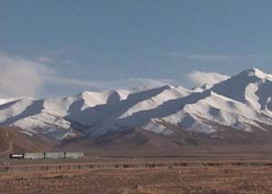 |
The Qinghai Tibet plateau has the reputation that its natural conditions can break even the strongest man. For the last century, access in and out of Tibet has been extremely difficult, until now….
This map was drawn 80 years ago. On this map, the railway in China stretches all the way to Lhasa, Tibet. At that time, the designer of the map had already begun to think about how to unite china. Created as the map of China's construction, the pioneer of China's revolution, Mr. Sun Yet-sen designed the future.
Interview He Deming, collector of the map: in 1920s Mr. Sun had drawn the map for the construction of China. The railway system is included in the map. And in the railway system, there is the railway from Qinghai to Tibet.
 |
The old map tells us that in the early 20th century, Mr. Sun Yet-sen was thinking about Tibet. He recognized that due to the terrain of Tibet, the people are isolated from the interior of china. He cared about the future of the land and its people and included them on the map of his dreams.